
Pull
Fresh every hour
Every hour we pull swell, wind and weather from Open-Meteo for every beach, using a point just offshore of each break. The moment new data lands, every page rebuilds. If the data is ever more than six hours old, we tell you.
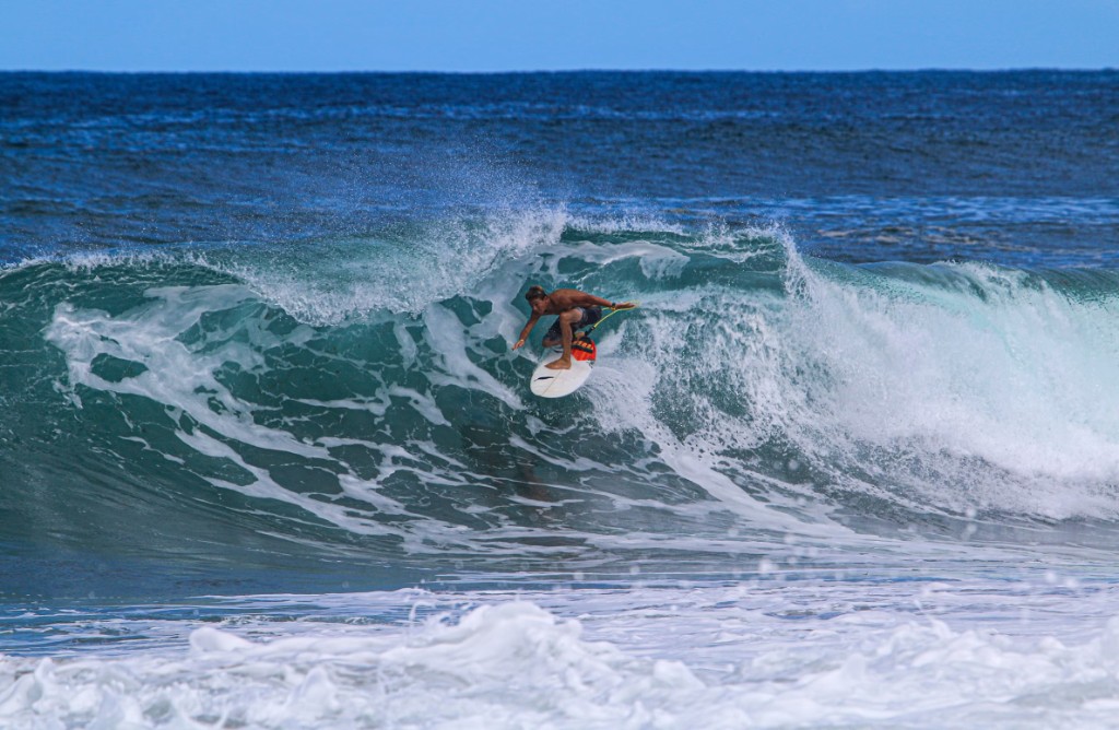
Devon · Cornwall · South Wales
Surf report, not just swell
Live surf reports for Devon, Cornwall and South Wales. Swell, wind, tide, and the local knowledge to go with it.
Why
Magic Seaweed used to tell you when to go. Then it disappeared, swallowed by data and API problems that were too expensive to fix at the time. Nothing since has done what it did for this coastline.
We got tired of waiting for someone else to fix it.
Barrel Monkey is a surf forecast built by people who actually stand on these beaches, not a global tool built for anywhere. Devon, Cornwall, South Wales, the Atlantic run. That's it. That's the whole point.
03 / Our Data Model
Pull
Every hour we pull swell, wind and weather from Open-Meteo for every beach, using a point just offshore of each break. The moment new data lands, every page rebuilds. If the data is ever more than six hours old, we tell you.
Score
The size you see is what actually reaches the beach. We account for swell direction and the headlands that block it, so Putsborough reads smaller than Woolacombe when Baggy Point is doing its job. Wind is scored against the way the beach faces, gusts included. Onshore wind caps the grade however big it gets. Tide is checked against when that beach works best.
Grade
Poor, Meh, OK, Sweet, Firing. OK or better is a Go. The rest is Wait. Flat means under a foot. Heavy is a warning for experts, not a grade.
Tide
Both highs and both lows, every day of the week. Maps are Mapbox. Some stills come from Windy.
Sources Open-Meteo · WorldTides · Mapbox · Windy
04 / FAQ
Swell, wind, gusts and weather come from Open-Meteo. Tide times come from WorldTides. Maps are Mapbox, and some stills come from Windy. We don't invent the swell. We score it for each beach.
Most sites print the raw swell out at sea. We print what reaches the beach. A west swell hitting a beach tucked behind a headland loses size before it arrives, so our number comes down. Today's card is this hour. Later days show the best hour of that day.
Five bars. Poor is one, Meh two, OK three, Sweet four, Firing five. OK or better is a Go. Flat means under a foot of surf. Onshore wind can drag a big swell right down the scale, but anything rideable is Poor at worst, never Flat. When it's too big for the beach we keep the grade and add a Heavy tag for experts. A reason tag like Choppy, Too small or Offshore tells you what's driving the score.
Groundswell is energy from storms far out in the Atlantic. It arrives clean, powerful and well spaced. Wind swell is made closer to home and turns up weaker and messier. We only call it groundswell when long-period swell carries most of the energy.
The seconds between waves. Longer usually means more power. Under 8 seconds tends to be weak and bumpy. Over 10 is where it gets good. We show the period of whatever is carrying most of the energy, so the number matches what you'll actually paddle into.
Swell, wind and weather every hour, and every page rebuilds as soon as new data lands. If it's more than six hours old, you'll see a notice.
No. It's a forecast and a score, not eyes on the water. Conditions change. Check the beach yourself and never treat a Go as a safety call.